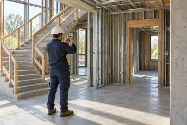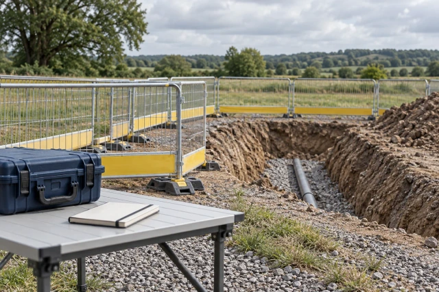
An underground utility as-built workflow should connect each installed feature to the actual project record requirements, responsible field and survey sources, location references, versions and designated review. Plan the information handoff before work is concealed, preserve original observations and leave uncertain data labeled. Record collection, technical acceptance, inspection and authorization to cover are separate processes. This guide organizes the coordination; it does not provide surveying instructions, excavation approval or a substitute for required utility-location procedures.
What to take away
- Confirm the required deliverable and responsible survey or technical reviewer before collection.
- Keep design information, field observations and reviewed as-built records distinguishable.
- Preserve units, reference systems and source metadata instead of guessing missing coordinates.
- Track record review separately from inspection and permission to conceal the work.
Define the deliverable before the field window closes
Identify the actual owner, utility, permit and contract requirements for the record being prepared. Confirm the required format, scope, receiving system and designated technical reviewer. A PDF drawing, structured asset file and survey-source dataset can serve different purposes; do not assume one export satisfies every recipient.
UDOT’s utilities page includes a Utility Survey Requirements section dated September 10, 2018, describing survey-grade collection and electronic as-built delivery in its context. It also notes that not every template field applies to every utility. Treat that as a published agency example, then confirm current instructions for the actual project rather than applying its wording universally.
Create a requirement-to-source list: what information is needed, who can provide it and who reviews it. Resolve unclear responsibilities before the relevant work is concealed. A coordinator can schedule and track the handoff while leaving measurement methods, technical adequacy and required professional responsibilities with the designated specialists.
Sources: UDOT Utilities: Utility Survey Requirements section dated September 10, 2018
Assign field, survey, technical and receiving responsibilities
Identify the people responsible for recording the installed feature, providing survey or location data, checking technical content and receiving the final deliverable. These may be different roles or organizations. Record the actual project arrangement rather than assuming the person uploading photos is also authorized to verify the geometry.
Define the coordination checkpoint before concealment through the real project process. Ask who needs the information, what source must be available and how an unresolved issue is escalated. The record workflow should support that arrangement without becoming an unofficial authority to release work for cover.
Keep access and site operations under the actual project procedures. An administrative request for a missing photo or feature reference should not direct someone into an excavation or interfere with required inspections. Route the question to the responsible field contact, who can determine the appropriate collection and coordination path.
Give every feature a stable identity
Use a feature or segment ID that connects the record to the actual location, utility type and relevant project references. Preserve the relationship between a point, a line segment and an associated structure where the required deliverable uses them. Avoid relying on a photo filename as the only identifier.
Distinguish design identifiers from installed-feature identifiers when they differ. A field change can leave a plan label useful for cross-reference while the installed record requires another reference. Ask the technical reviewer to confirm the relationship instead of relabeling the field account to make it match an old drawing.
Record the actual scope of the observation. A photo of one exposed bend does not establish the location of an entire buried run. A field account covering one segment should remain scoped to that segment until the relevant source supports a broader record. Preserve unknown relationships rather than drawing a continuous line from incomplete evidence.
Preserve the measurement source and reference information
Where coordinate or elevation information is part of the actual deliverable, preserve its source file, units, horizontal and vertical reference information, collection date, method metadata and responsible source. Use the fields the technical reviewer requires. Do not infer missing reference systems from the apparent size of a number or a familiar project name.
A spreadsheet can contain precise-looking values while the associated units or datum remain unclear. Route that question back to the survey or technical source before combining the data with another dataset. A coordinator’s arithmetic conversion cannot establish that two reference systems are equivalent or that a transformation has been correctly performed.
Retain original files and identify derived versions. If a specialist issues a corrected dataset or transformed deliverable, preserve its relationship to the original and the actual review source. The administrative register should explain which version is current without claiming independent verification of survey accuracy.
Connect photos to features and observation context
Preserve original photographs with their source, actual capture context and feature relationship. A useful photo index identifies location, view direction where known, visible feature and relevant record ID. It should be possible to find the associated field or survey reference without guessing from a large unorganized folder.
Separate a photo’s actual content from an inference. An image can show a visible connection or general location while lacking the scale, reference or viewpoint needed for another question. Do not use it to manufacture a depth, offset or technical acceptance that the source does not establish.
Keep later annotations separate from the original image. A marked-up copy can explain which feature the reviewer is discussing, but the markup should retain its author, date and purpose. If the annotation changes a location or reference, identify the supporting source and route the correction through the actual review process.
Worked example: five features with different record gaps
The project, identifiers and review states below are fictional. Cedar’s coordinator prepares an evidence roster for five feature records before a scheduled project coordination checkpoint. The example assumes the responsible team has defined the required process; it does not establish that work is technically accepted or ready to be concealed.
U-301 and U-302 have the requested source references assembled for designated review. U-303 has a field photo but its related dataset is an earlier version. U-304 contains a unit-reference question for the survey source. U-305 has a required observation reference still missing from the packet.
The roster therefore has two assembled-for-review rows and three open source questions. It does not mean forty percent of the utility system is approved or that either assembled record has passed technical review. The next actions target the specific version, metadata and observation gaps instead of asking every contact to resend the entire project archive.
| Feature | Evidence position | Next action |
|---|---|---|
| U-301 | Requested sources assembled / review pending | Designated technical review |
| U-302 | Requested sources assembled / review pending | Designated technical review |
| U-303 | Photo linked / dataset version question | Source provides correct version relationship |
| U-304 | Units reference unresolved | Survey source clarifies metadata |
| U-305 | Required observation reference missing | Responsible field source supplies record |
Reconcile installed changes with the actual design reference
Preserve the relevant issued design version, reported field difference and actual instruction or review reference. A change to alignment or feature identity should have a traceable source. Do not quietly adjust the as-built drawing to resemble the latest design when the field account describes something different.
If sources conflict, give the technical reviewer the original records and a bounded question. Identify which feature, version and observation differ. The coordinator should not resolve a geometric conflict by choosing the more recent filename or averaging coordinates that may have different bases.
Keep a candidate record distinct from the reviewed deliverable. A redline or draft dataset can support the review without being labeled final as-built. When a reviewed revision is issued, preserve the outcome and source so downstream recipients can identify the correct record without losing the history of the field question.
Coordinate the pre-concealment information handoff
Work backward from the actual field and review process to identify when the required sources need to be available. Confirm the responsible contacts and receiving destination. The administrative checkpoint should align with the project’s operations rather than rely on a generic end-of-week report that may arrive after the useful observation window.
For an open record question, state what is missing and who can answer it. A version issue belongs with the issuing source; a missing observation belongs with the field contact; a technical adequacy question belongs with the designated reviewer. Send each person a precise request tied to the feature ID.
Keep record readiness separate from required inspection and release decisions. A completed document checklist does not authorize burial, energization or another operational step. Preserve the actual decision source where the project requires one and route any unresolved conflict through the designated field and technical process.
If the work is already covered, preserve the limitation
Record which required information is missing, what was actually observed before cover and which sources remain available. A later drawing or recollection can help explain the situation while remaining a later source. Do not backdate a field record or label an inferred location as directly measured.
Ask the designated technical reviewer to determine the appropriate next process. The administrative guide does not prescribe exposure, testing or a survey method. It can preserve the issue, identify the feature and coordinate the requested information without deciding that a photo or reconstructed sketch satisfies the actual requirement.
Keep uncertainty attached to the affected record through later exports. A clean-looking final PDF should not lose a qualification that matters to the data’s use. If a later source resolves the issue, identify the new evidence, reviewer and version rather than silently replacing the earlier uncertainty with a confident value.
Deliver the reviewed set with a clear index
Prepare a receiving index that identifies the actual deliverable files, feature coverage, source versions, review outcome and remaining exceptions. Check the required naming and format with the receiving party. A folder containing both obsolete and current files needs a clear current-set reference, not just a final label on one attachment.
Confirm that the intended recipient can open the controlled files and understand their relationships. A geometry file without its required reference information can create a receiving problem even if it opens successfully. Ask the designated technical source to confirm the necessary accompanying metadata rather than inventing it during packaging.
Record the transmittal, receipt and actual acceptance separately. A delivery acknowledgment does not automatically establish technical acceptance. Preserve any return comments against the submitted revision and assign the next source question without deleting the earlier package or its review history.
Download the blank utility-record evidence register
The free CSV includes feature and segment ID, utility and location reference, requirement source, design version, field observation, survey-source file and metadata, photo references, mismatch, technical reviewer, current deliverable and next action. It is a coordination index, not a survey form, excavation plan or professional certification.
Enter U-301 through U-305 and test the three open-source paths. The two assembled rows should remain review pending until the actual reviewer responds. A unit clarification should not automatically close an unrelated inspection or release task, and a new dataset version should retain its relationship to the earlier source.
Pilot one segment with the field coordinator and designated survey or technical reviewer. Agree which fields are necessary and who can change them. Confirm the receiving format and permissions before scaling automated requests across many features or several utility owners.
Show the missing-record request in a Buildalytic demo
Buildalytic advertises custom workflows for requests, logged follow-up, waits and named approval steps. Bring a redacted feature record with one missing source or metadata question. Ask a demonstration to show the request reaching the correct field or technical contact and returning to the feature’s evidence record.
Test a photo-reference gap, a dataset-version question and a technical-review wait as separate paths. Confirm supported document connections and the actual person who owns the review. The workflow should coordinate evidence rather than generate verified coordinates, perform surveying or issue permission to cover the work.
The concrete test is whether another coordinator can find the source, qualification, current version and next responsible person. The fictional roster does not establish technical compliance or a measured Buildalytic customer result. Production follow-up should preserve the actual project requirements and designated professional review.
Common questions
Can photos replace the required survey records?
Use the actual deliverable requirements and designated technical review. Photos can support context without establishing every required position, elevation or accuracy basis.
Does a complete record checklist authorize burial?
No authorization is assumed. Record review, inspection and any required release to cover are separate processes with their own actual decision sources.
What if the coordinate units are missing?
Preserve the original data and route the question to the survey or technical source. Do not guess units or reference systems from the appearance of the values.
Sources and editorial notes
- UDOT Utilities: Utility Survey Requirements section dated September 10, 2018
- Buildalytic custom construction workflows
Prepared with AI assistance. Reference date: 2026-10-29. Worked examples are illustrative and are not customer results. Product details can change; confirm the current scope and terms before rollout.
How we prepare and update field notesBring the missing source behind a utility record
Bring a redacted feature reference, the actual deliverable requirement and one unresolved source question. We will map the field request, technical-review wait and source-linked handoff using your process and supported connections.
Start with the call, text or record your team already handles. Review the expected outcome and the human handoff before choosing a rollout.
Request a utility-record follow-up demo Explore the relevant capability